
Buyer guide · Location
Plan outdoor routines around existing facilities
Seaton has real outdoor assets today and more planned. This guide separates what exists now from what appears on plans, so weekend expectations match reality.
Updated with facts checked October 6, 2026. Source dates noted in text.
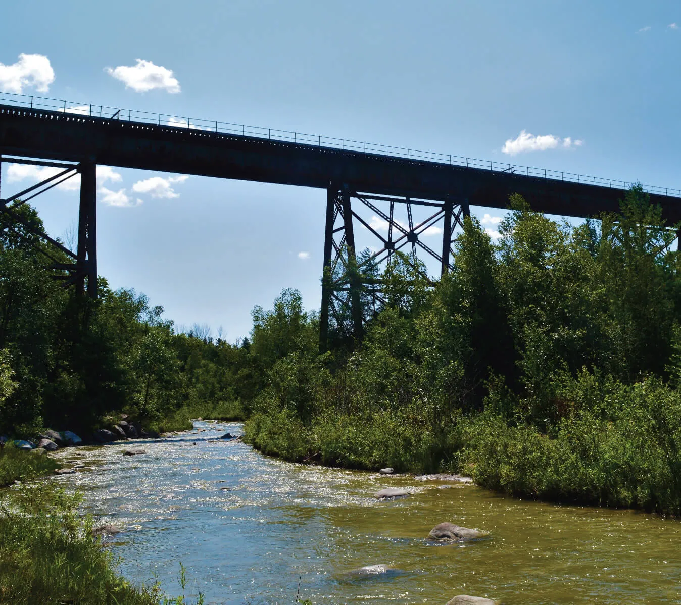
Seaton Hiking Trail
The City of Pickering describes the Seaton Hiking Trail as 12.7 km, with access points including Whitevale Park, Grand Valley Park, Foreststream Drive and Green River. Terrain and difficulty vary.
We make no walk-time claims from specific homes; check access points on the city's trail map.
The waterfront is a separate trip
Pickering's Lake Ontario waterfront is a destination elsewhere in the city, not an on-site amenity.
Decision aid
Current, planned or confirm-before-travel
- Confirmed
Seaton Hiking Trail
City-described 12.7 km trail; check access points and conditions.
- Confirmed
Pickering waterfront
Exists elsewhere in Pickering — separate trip.
- Planned
Neighbourhood park (site plan)
Shown on Phase 1B plan; timing not confirmed.
- Planned
Village green (site plan)
Shown on Phase 1B plan; timing not confirmed.
- Planned
Seaton recreation complex & library
City detailed-design project; not open.
Current park maps
Use the city's parks and trails pages for current facilities and seasonal access.
Planned community spaces
The Phase 1B plan shows a neighbourhood park, a village green and natural heritage areas. These are planned features; delivery timing is not confirmed.
Explore the neighbourhood
Preview notice: this form is not yet connected, so details entered here are not sent. Please call, WhatsApp or book a meeting.
Frequently asked questions
How long is the Seaton Trail?
The City of Pickering describes it as 12.7 km.
Is there a park in Phase 1B?
The site plan shows a neighbourhood park and village green as planned features; delivery timing is not confirmed.
Is the waterfront close by?
It is elsewhere in Pickering and requires a separate trip.